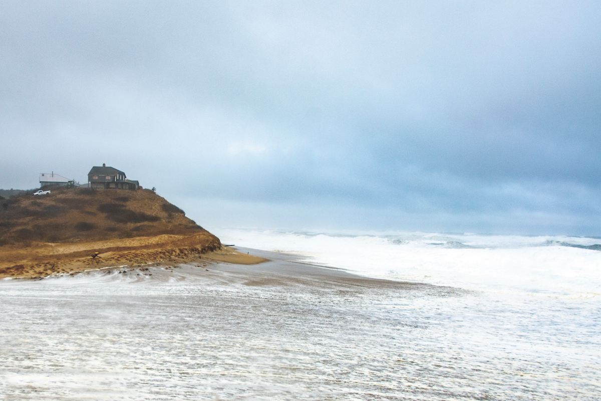
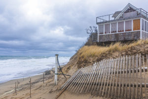
TRURO — When Anne Peretz walked into her newly built home near Ballston Beach on North Pamet Road in 1991, there was 175 feet between the back porch and the dune’s edge. Now it’s six feet, she said.
“We didn’t lose anything for 15 years,” said Peretz. “Then, three or four storms in one year took 45 to 50 feet, and it’s just been breaking off ever since.”

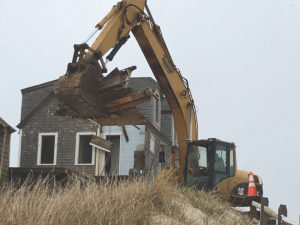
Peretz is asking the town to let her demolish the house and rebuild 130 feet from the cliff.
When Barbara Kislak moved into her North Pamet Road home in 1986 “there was no erosion,” she said. “That whole world was very, very different.”
Since Kislak sold her house in 2016, it’s changed hands twice. The new owners, Chris and Jennifer Sousa of Middletown, received permission on Feb. 22 from the zoning board of appeals to move their house to a new location 90 feet from the edge, where it will be safe for 35 to 40 years, engineer Tim Brady of East Coast Engineering said.

Researchers who study the eroding coastline are calling Ballston Beach a hotspot, because there has been faster erosion there than at other parts of the coast, said Mark Adams, the mapping specialist at the Cape Cod National Seashore.
Erosion is affected by the mix of clay and sand in a dune, the shape of the dune, and storm activity. Scientists also wonder if the topography of the ocean floor creates more intense wave action in certain spots.
Annabelle Daoust, a student of environmental design at the University of Quebec, has been poring through town hall records for years to explore the fates of coastal homes between Lecount Hollow in Wellfleet and Ballston Beach in Truro.
She has found that, between 1975 and 2018, about 17 homes were moved (some more than once), 10 demolished, and six elevated. Some of these may have been subject to more than one, or even all three, of these fixes, said Daoust last week.

Scientists have found the general erosion rate on the Outer Cape’s backshore to be about three feet a year. Daoust has made predictions about the Truro and Wellfleet oceanfront, and the news is sobering: 64 buildings — including houses, studios, and garages — will need to be demolished or moved in the next 30 years.
She is careful to qualify her predictions by saying she used the most aggressive rates, and that no one can predict the future. But, she added, it’s important that people pay attention.
Daoust said her research showed that 16 buildings were removed from Ballston Beach in the 1960s and ’70s. Most of them were part of Ball’s Town, she said, a cottage colony with a bowling alley and recreation center. Established by Sheldon Ball in 1889, Ball’s Town was in the area where overwashes now occur at Ballston Beach, Daoust said.

Adams said that, back in Sheldon Ball’s day, there was a protective dune at Ballston, and a marsh behind it (much like today), only it was about a half mile out into what is now ocean. That marsh had old wetlands and a river channel, which could now be underwater and funneling wave action to create more intense waves, Adams said.
“Mapping the sea floor would help in understanding the particular hot spots of erosion,” Adams said.
Topographical lows in the offshore bars allow wave energy to be concentrated at specific sites during storms, Daoust said. When the ocean floor changes, the erosion pattern could move on to a new spot, she said.
Another factor is sea level rise. Daoust said Georges Bank, a shallow, sediment-covered plateau off the New England coast that is larger than Massachusetts, currently breaks wave energy. But it won’t take much sea level rise before Georges Bank will no longer do that, leading to more powerful waves, she said.


